Can you use bike-computer routes without a paid subscription?
Plan, import, sync, and safely test routes on a Garmin Edge or similar bike computer without assuming you need Strava or Ride with GPS Premium.
 Field guide / bike-computer-routes-without-paid-subscription
Yes. A compatible bike computer can navigate saved courses without an ongoing Strava or Ride with GPS subscription. You can create a course in the manufacturer’s free companion service, import a GPX or FIT file, sync it to the device, and follow it offline. Paid services may make planning or automatic syncing easier, but they are not a basic requirement for turn-by-turn course navigation.
The short answer: confirm the computer can accept courses, choose one free planning-and-transfer workflow, sync the route before leaving Wi-Fi, and test it on a familiar short loop.
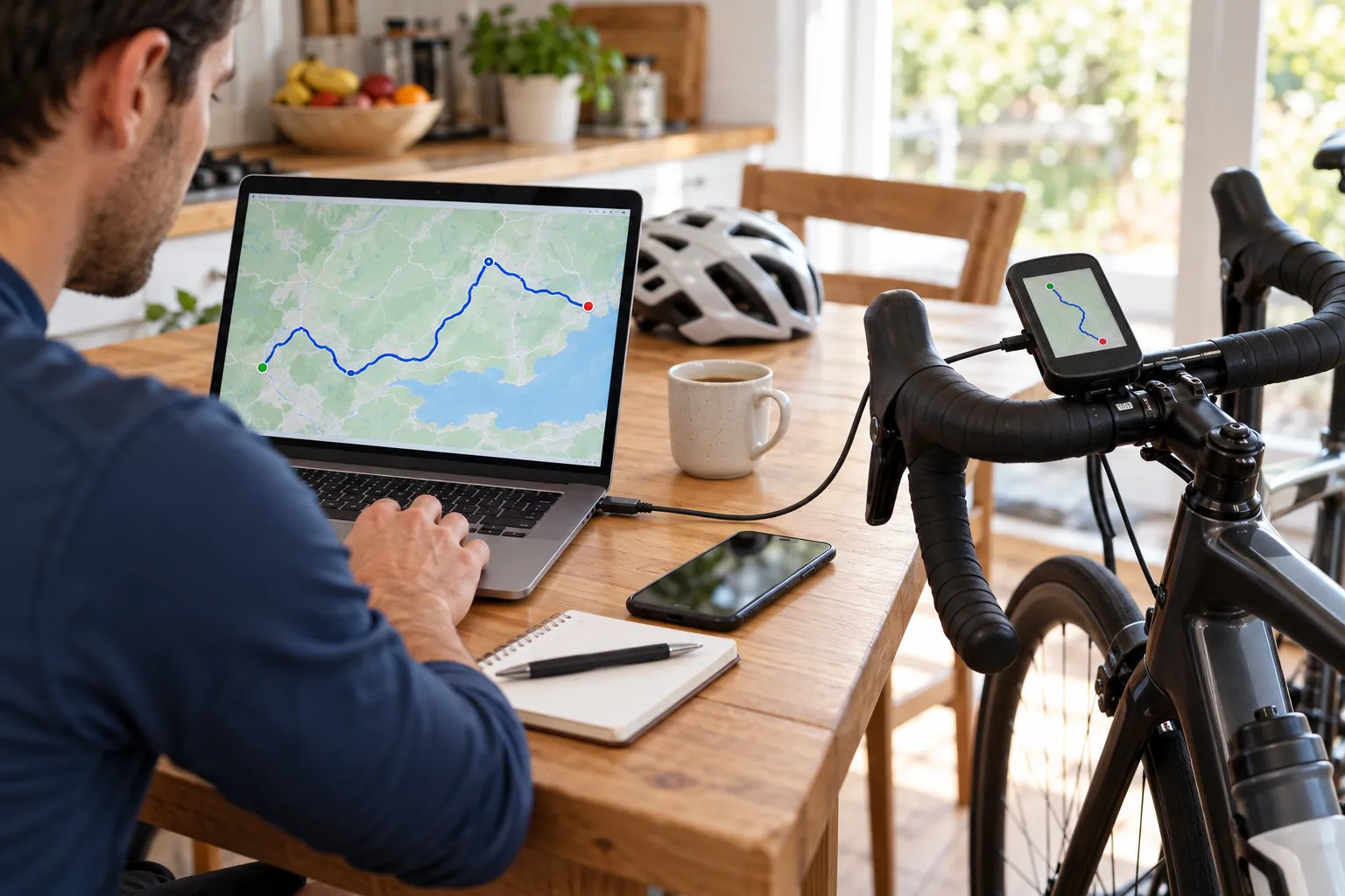
Understand the three separate jobs
Cyclists often bundle three functions together:
- planning: drawing or discovering a route;
- transfer: moving the course file to the head unit;
- navigation: displaying the line, turns, and off-course alerts while riding.
A subscription might improve the first or automate the second. The bike computer performs the third after the course is stored locally.
Garmin’s Edge 840 manual says courses can be sent from a Garmin Connect account and also created directly on the device. Other brands use different names, but the underlying idea is similar: a route becomes a saved course on the computer.
The simplest free Garmin workflow
For an Edge 840 and many other current Garmin units:
- Open Garmin Connect on the web or in the mobile app.
- Create a cycling course, or import a route file from a source you trust.
- Review the activity type, surface, start point, and direction.
- Save the course and send it to the paired Edge.
- Sync the device while you still have internet access.
- On the Edge, open Navigation, then Courses, select the course, and inspect the map.
- Start the course only after the device has a satellite fix.
Garmin also documents an on-device Course Creator. That can help with a simple destination, loop, or out-and-back when you do not want to use another planning platform.
Menu names change with firmware and model, so use your exact owner’s manual rather than a random video made for a different Edge.
GPX, FIT, and TCX in plain English
These are common route-file formats:
- GPX is widely supported and good for route geometry and waypoints.
- FIT can preserve richer course details for compatible devices.
- TCX is an older XML format that some services still export.
The safest choice is the format recommended by the computer maker or the planning service’s official integration. If a GPX imports but shows no turn prompts, the route line may still work; prompts depend on the device and how course points were created.
Do not confuse an activity recording with a planned route. A friend’s recorded ride may contain wrong turns, private detours, or a start location you should not publish.
What paid plans actually change
Paid route services commonly add features such as advanced map layers, offline mobile maps, more detailed route analysis, heatmaps, organisation tools, or one-click integrations. Those features can be worthwhile for frequent exploration, but assess them separately from the head unit.
Ask:
- Can I create or import the routes I need for free?
- Can I send them to my device without manual cable work?
- Are the relevant maps and surfaces reliable in my region?
- Do I need offline phone maps as a backup?
- Will I use premium planning features often enough to justify the fee?
Start with the free workflow. Upgrade only when you can name the missing feature.
Check the route before trusting it
A perfect-looking line can still use a motorway, closed bridge, private road, unsafe junction, stairway, or rough trail. Before a new ride:
- Inspect the whole route at street level where possible.
- Verify closures and access using an authoritative local source.
- Check surface type and elevation against at least one other map when either matters.
- Mark water, toilets, bail-out stations, and a safe return option.
- Put the hardest navigation points on a written cue note or offline phone map.
Use our unfamiliar-route planning guide for the full risk check. For a first course, the beginner route guide keeps distance and junction load manageable.
Test before the important ride
Load a 5–10 km route you already know. Confirm that:
- the course appears after a restart;
- turn alerts arrive early enough to act safely;
- the map remains useful in bright light;
- rerouting behaviour does not send you somewhere inappropriate;
- the battery comfortably outlasts the test;
- you know how to stop navigation without ending the ride recording.
Carry the charging cable on travel days. A route that never finished syncing is no help at the start line.
Your next step
Create one short course in your computer maker’s free app, sync it, switch your phone to airplane mode, and confirm the head unit can open and navigate it. That single test answers the subscription question for your exact device.
Sources and further reading
- Garmin Edge 840 manual: Courses
- Garmin Edge 840 manual: Planning and riding a course
- r/cycling demand signal: loading routes without a paid Strava or Ride with GPS plan — used as an editorial question signal, not product evidence.